Texada Island ProjectLast update: 2004 / 05 / 16Texada Island is located in British Columbia (Canada). It is the largest of the islands in the Strait of Georgia between the Canadian mainland and Vancouver Island . This project replaces the default Texada Island - the one that ships with Microsoft FlightSimulator 2004 - with a model of much higher detail and precision. The complete island has been re-modelled; this includes a new elevation map (20m mesh, LOD-11), a precise coastline with (most of) the small islands near by and a new ground structure with all the lakes, rivers, roads and communities on the island. The following screenshots are taken from an on-going project; whenever there are new scenery elements, the screenshots will be updated to reflect the new stage.
|
|
Sight-Seeing tour around Texada Island ...The terrain of Texada Island has been completely re-modelled. Based on over 40.000 elevation points from all over the island, a triangulated mesh (digital elevation model in its original meaning) was generated. This mesh was then cut into 19.2 meter cells to produce a rastered elevation map. The map was finally converted into a LOD11 terrain model for FlightSimulator.Additionally more than 100 lakes, about 200 rivers and uncountable roads, streets and trails have been added and fitted to the terrain. The level of detail allows VFR with a "real" map of the island.
|
|
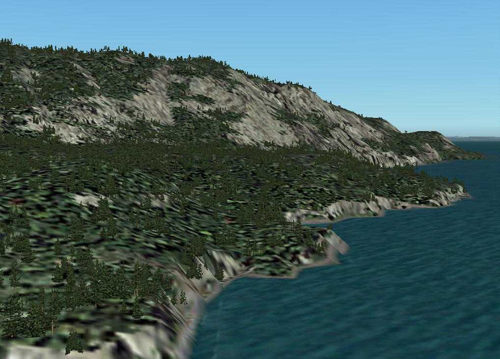 |
After starting in Qualicum Beach (ICAO: CAT4), we headed for the southern part of Texada island. We approach the island where the mountains of southern Texada fall steeply towards sea level. |
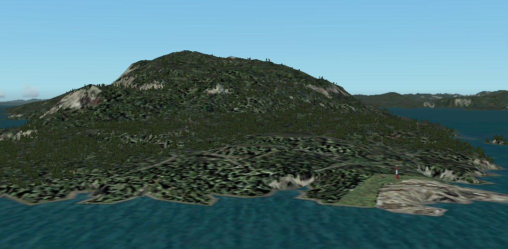 |
We are passing the southern tip of Texada island; on the right you can see Point Upwood with its lighthouse. |
 |
After passing the southern tip we can see Anderson Bay on the lower left and an (un-official) airstrip (no ICAO listing) a bit further along the coast. |
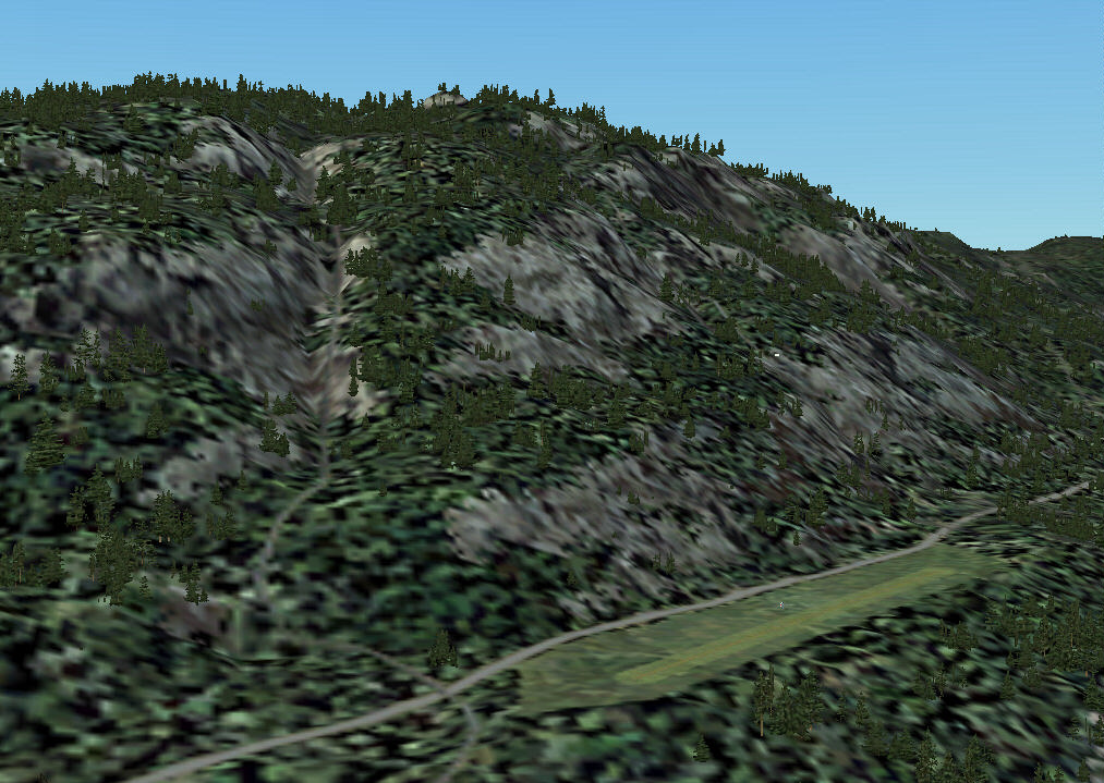 |
A close look on the little airstrip close to Anderson Bay. The airstrip has a grass
runway of 1500ft is is located quite close to the mountains - a very scenic approach
and landing with a small aircraft. The airstrip is unmodelled right now; there is only the runway and a windsock... |
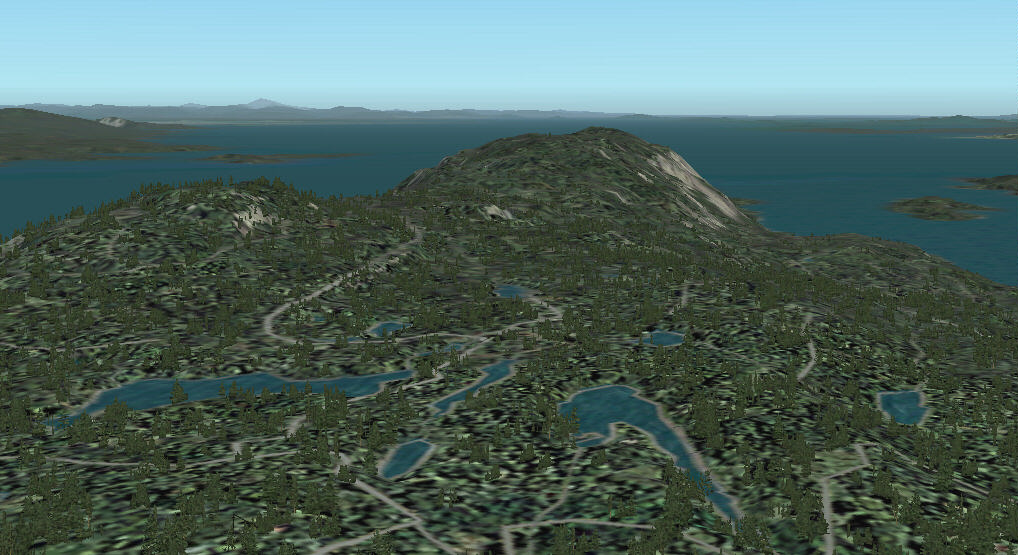 |
Climbing up the mounatins while going further north leads to a plateau that is covered with small lakes and rivers (The screenshot is actually looking back to the south after passing the lakes). |
 |
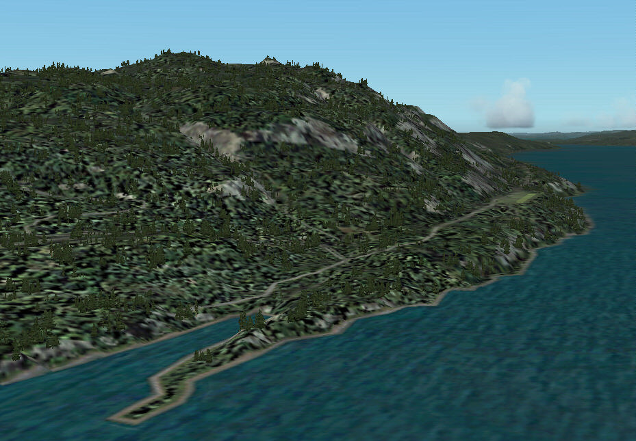
Flying back to the north side coast of Texada we reach Vananda, the second largest community on the island. |
 |
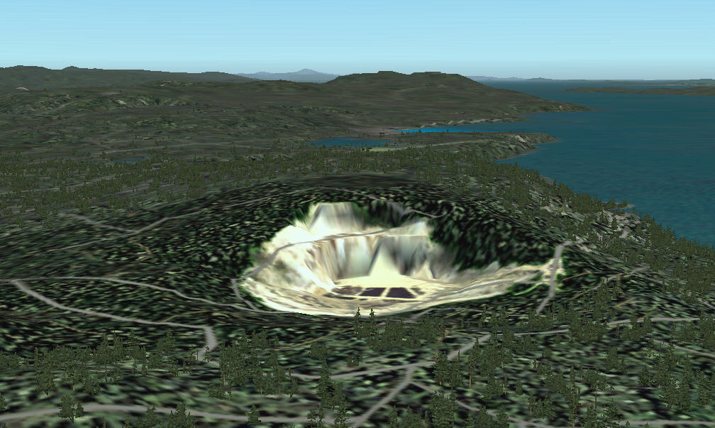
The northern tip of Texada is at Blubber Bay. The quarry at Blubber Bay is one of three quarries on the island that together produce about 6 million tons of limestone every year. Blubber Bay is equipped with a Deep Sea Loading Facility and a ferry connection to Powell River on the mainland. |
 |
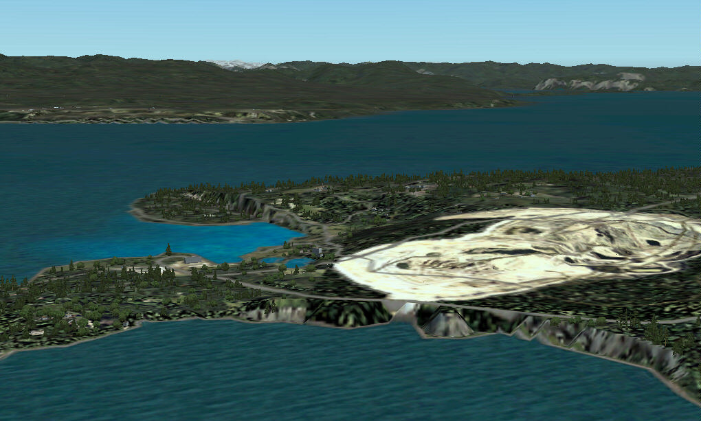
Following the coast we approach the second quarry (the largest of the three). From here you can already see the airport (when you know where to look for it ;-) and Gillies Bay (the largest community on the Island). |
Landing at Gillies Bay airport in a helicopter and by plane... |
|
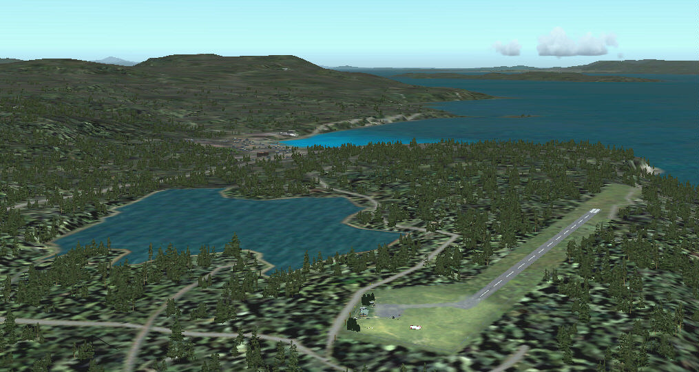 |
Looking south from Gillies Bay Airport (CYGB) and Cranby Lake towards Gillies Bay. You can see the mountainous terrain of the southern part of Texada on the left and Lasqueti Island and Vancouver Island across the Strait of Georgia on the right. |
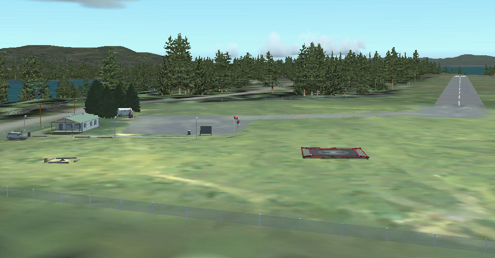 |
Approaching the airport in a helicopter shows a small airport that is
nicely embedded into the hilly forest surroundings. The airport is well equipped for camping, so you may decide to stay for a while... |
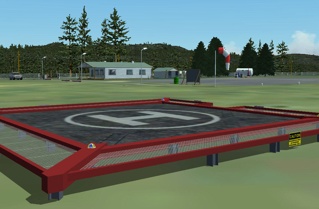 |
The helipad has been setup just recently and is used mainly for sight-seeing trips across Texada. |
 |
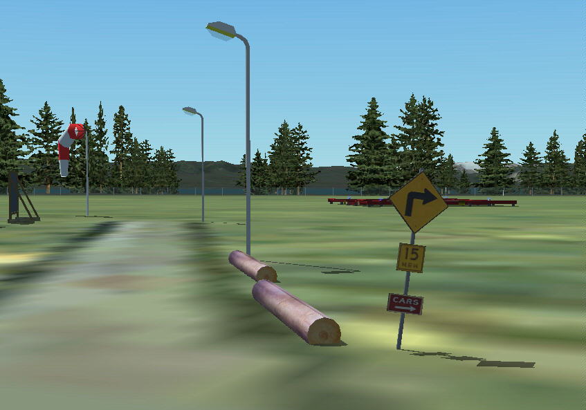
At the end of runway 32 there is the exit and a taxiway to the GA parking. There are eight parking lots allocated for ATC; four of them on the "apron" in front of the buildings. |
 |
Taxi to parking - keep left at the end of the taxiway and get a free parking slot on the paved "apron". There are more parking positions to the right of the fuel station. |
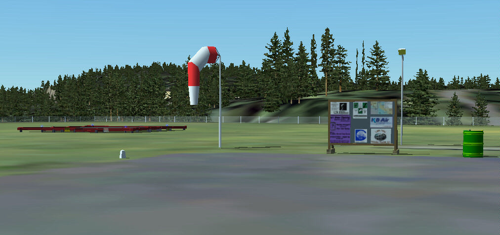 |
Final parking is close - just stop in front of the display board and turn off the engines. The windsock is animated with wind direction and wind speed and serves as a precise wind indicator. |
Inspecting the airport... |
|
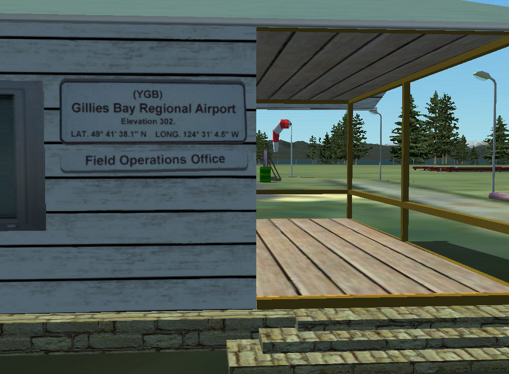 |
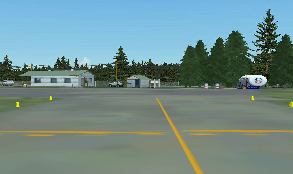
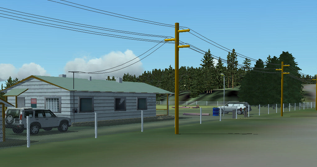
The largest building at the airport is the airport office next to the entrance
gate. The building also has a private part with an entrance on the back of the building. |
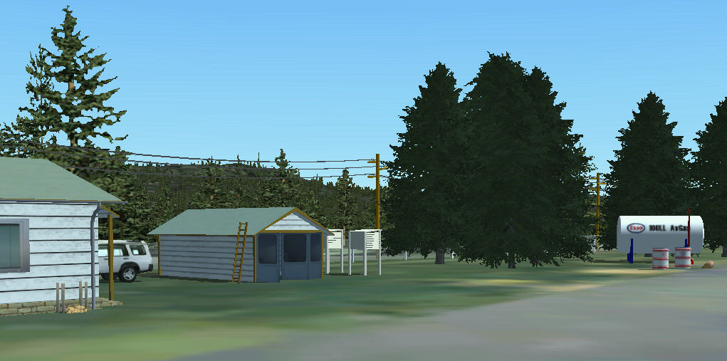 |
Furthermore there is a little shelter with animated doors, a fuel station with an AVGAS tank and two little weather logging stations to record weather conditions. |
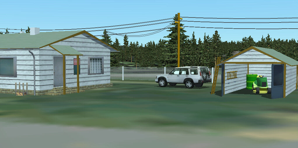 |
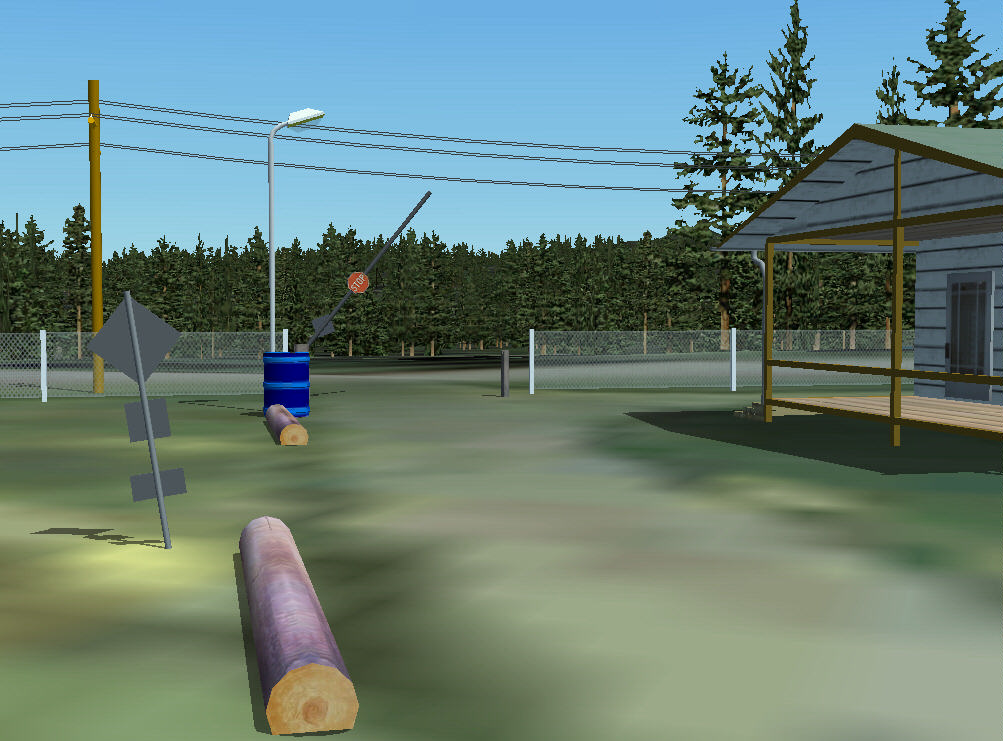
The shelter is mainly used for the (animated) lawnmover / plow tractor and as a storage for all the tools needed to maintain the airport. |
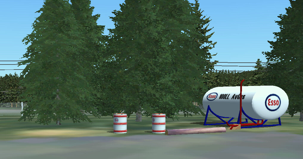 |
The fuel station is quite unfinished - right now there is only an AVGAS tank and a little surrounding. This will be enhanced in the future. |
Taking the car to the airport... |
|
 |
It is just a short trip from Gillies Bay to the airport on a scenic road. You can't miss the airport, it's on the left side after you have passed Cranby Lake to your right. |
 |
Opening hours are from 8 a.m. to 6 p.m. daily; during this time the traffic gate is open for public vehicles. |
 |
Park your car in the designated area - turn right after passing the entrance gate. |
 |
Leaving the airport by car. |
Staying at the airport... |
|
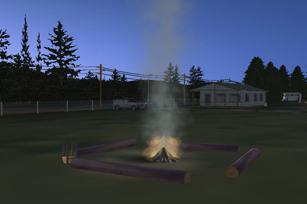 |
Enjoy your stay on the airport - campfire and camping is provided. |